| : Ordnance Survey Benchmarks that can be observed along : | the Grand Union |
< other canal Benchmarks for copy/paste |
|
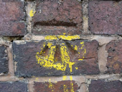
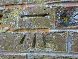
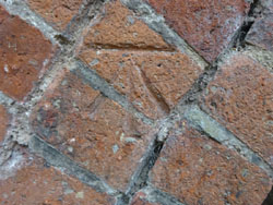
| Leam bridge, Myton Rd |
| ( 57.7M above sea level) (road level) | |
| streetmap of SP 3054 6505 or | |
| what3words /// artist.zealous.forum | |
| click image to enlarge |
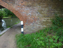
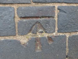  | Gas Bridge, Tachbrook Rd |
| ( 57.3M above sea level) (road level) | |
| streetmap of SP 3185 6512 or | |
| what3words /// nodded.stumps.scorpions | |
| click image to enlarge |
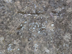
  | farmer's bridge |
| ( 54.7M above sea level) (canal level) | |
| streetmap of SP 3025 6534 or | |
| what3words /// elbow.tests.plan | |
| click image to enlarge |
  | aqueduct, over the river Avon |
| ( 54.7M above sea level) (canal level) | |
| streetmap of SP 3009 6544 or | |
| what3words /// shut.wedge.risks | |
| click image to enlarge |
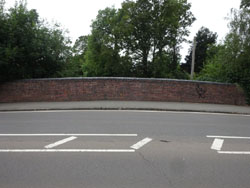
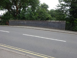
  | N side of jnc |
| ( 58.5M above sea level) | |
| streetmap of SP 2705 6556 or | |
| what3words /// shovels.crowds.brains | |
| click image to enlarge |
  | All Saints Bridge |
| ( 55.1M above sea level) (canal level) | |
| streetmap of SP 2965 6561 or | |
| what3words /// repay.result.family | |
| click image to enlarge |
  | Charles St bridge |
| ( 55.2M above sea level) (canal level) | |
| streetmap of SP 2948 6568 or | |
| what3words /// bliss.props.curl | |
| click image to enlarge |
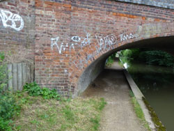
 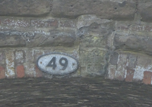 | Bridge 49, Coventry Rd |
| ( 55.2M above sea level) (canal level) | |
| streetmap of SP 2888 6598 or | |
| what3words /// pill.bought.sudden | |
| click image to enlarge |
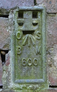
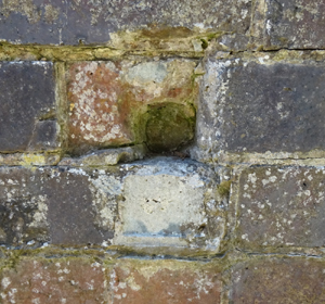  | lock 31, near Ugly Bridge, bottom of old lock |
| ( 70.4M above sea level) (FL BR 605 missing) | |
| streetmap of SP 2563 6633 or | |
| what3words /// weeknight.estuaries.maple | |
| click image to enlarge |
  | 3 Middle Lock Lane, Hatton Flight |
| ( 79.8M above sea level) (FL BR 604) | |
| streetmap of SP 2494 6659 or | |
| what3words /// mimes.dupe.swatted | |
| click image to enlarge |
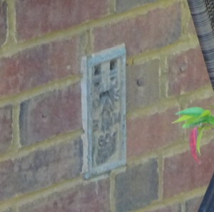
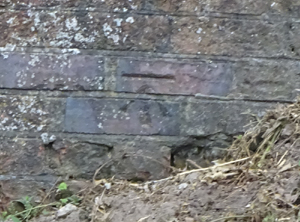 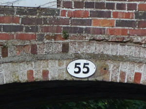 | St John's Bridge, 55 |
| ( 103.8M above sea level) (canal) | |
| streetmap of SP 2343 6675 or | |
| what3words /// quarrel.tasters.stitching | |
| click image to enlarge |
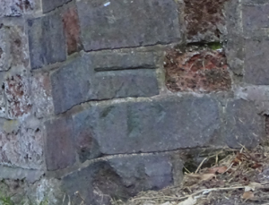 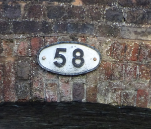 | Balls Bridge, 58 |
| ( 103.5M above sea level) (canal) | |
| streetmap of SP 2176 6681 or | |
| what3words /// treatable.fixed.circle | |
| click image to enlarge |
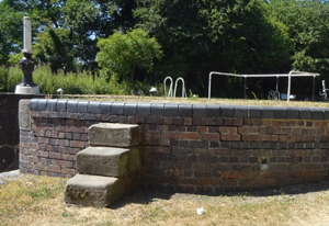
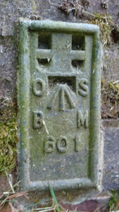  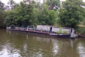 | wall opposite sunken, wooden barges |
| ( 112.0M above sea level) | |
| streetmap of SP 2153 6706 or | |
| what3words /// emulated.counters.output | |
| click image to enlarge |
 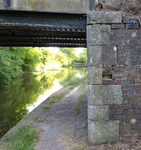 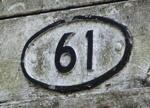 | White Bridge, 61 |
| ( 103.7M above sea level) | |
| streetmap of SP 2075 6829 or | |
| what3words /// regrowth.crowned.eating | |
| click image to enlarge |
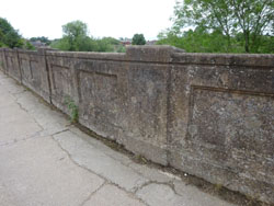
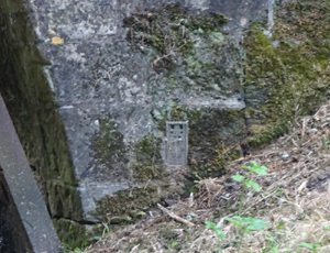 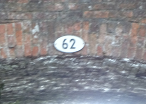 | Rowington Hill, bridge 62 |
| ( 104.1M above sea level) (canal) | |
| streetmap of SP 2025 6906 or | |
| what3words /// typified.added.sprain | |
| click image to enlarge |
| X | 
|
X |
| ffff | info | |
| < | > |