| : Ordnance Survey Benchmarks that can be observed along : | the Llangollen Canal |
< other canal Benchmarks for copy/paste |
|
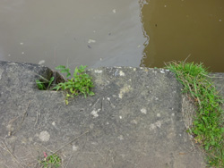
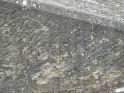
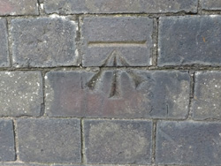
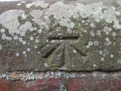
| roving bridge, Hurlestone Junction |
| ( 50.4M above sea level) | |
| streetmap of SJ 6263 5530 or | |
| what3words /// factor.agrees.views | |
| click image to enlarge |
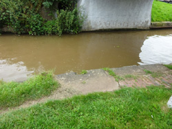
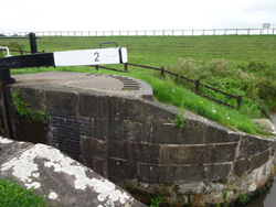
  | Lock 2, lower gate |
| ( 55.5M above sea level) | |
| streetmap of SJ 6245 5525 or | |
| what3words /// prancing.palms.froth | |
| click image to enlarge |
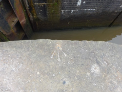
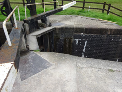
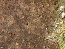
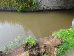
  | Lock 3, far side |
| ( 58.0M above sea level) | |
| streetmap of SJ 6238 5522 or | |
| what3words /// adopt.ruins.digesting | |
| click image to enlarge |
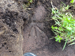
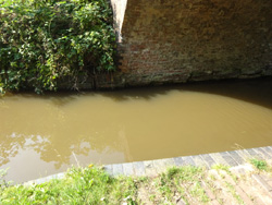
 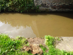 | Bachehouse Bridge, canal edge |
| ( 60.6M above sea level) | |
| streetmap of SJ 6173 5474 or | |
| what3words /// louder.axed.trumpet | |
| click image to enlarge |
  | Wrexam Bridge, A534, road level |
| ( 63.9M above sea level) | |
| streetmap of SJ 6176 5341 or | |
| what3words /// quite.extremely.holdings | |
| click image to enlarge |
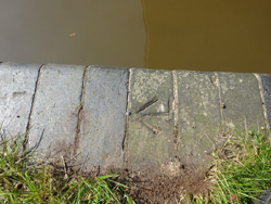
  | Martins Bridge, canal edge |
| ( 60.6M above sea level) | |
| streetmap of SJ 6163 5458 or | |
| what3words /// button.lemmings.postings | |
| click image to enlarge |
 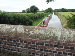 | Hurleston Bridge, road level |
| ( 64.7M above sea level) | |
| streetmap of SJ 6208 5508 or | |
| what3words /// firepower.blotting.plenty | |
| click image to enlarge |
  | Platts Bridge, canal edge |
| ( 60.6M above sea level) | |
| streetmap of SJ 6173 5376 or | |
| what3words /// ethic.beginning.tingled | |
| click image to enlarge |
  | Lees Bridge, canal edge |
| ( 60.6M above sea level) | |
| streetmap of SJ 6149 5425 or | |
| what3words /// navy.houseboat.empires | |
| click image to enlarge |
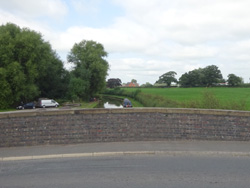
  | house on the Preees Arm, Llangollen Canal |
| ( 89.9M above sea level) | |
| streetmap of SJ 4909 3491 or | |
| what3words /// awaiting.structure.wolves | |
| click image to enlarge |
| X | 
|
X |
| ffff | info | |
| < | > |