

| : Ordnance Survey Benchmarks that can be observed along : | the Montgomery Canal |
< other canal Benchmarks for copy/paste |
|
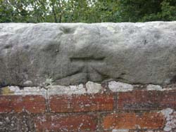
| canal bridge, road level |
| ( 92.7M above sea level) | |
| streetmap of SJ 3852 3297 or | |
| what3words /// evidence.official.tabs | |
| click image to enlarge |
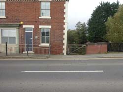
  | Pencarreg Lane, canal bridge |
| ( 78.6M above sea level) | |
| streetmap of SJ 2836 2293 or | |
| what3words /// massaging.lizards.unable | |
| click image to enlarge |
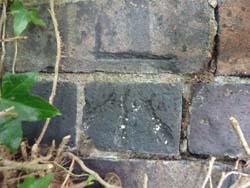
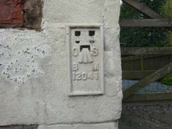  | 8 North Rd |
| ( 78.4M above sea level) | |
| streetmap of SJ 2663 2101 or | |
| what3words /// dated.spoiler.finer | |
| click image to enlarge |
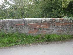
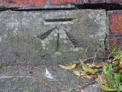
 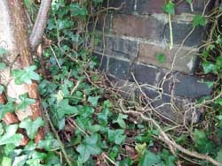 | canal parapet, Carreghofa Lane |
| ( 77.8M above sea level) | |
| streetmap of SJ 2625 2080 or | |
| what3words /// equity.epidemics.ordering | |
| click image to enlarge |
 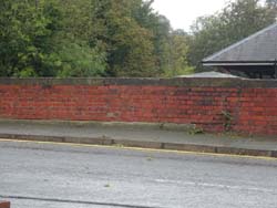 | canal bridge, B4381 |
| ( 79.4M above sea level) | |
| streetmap of SJ 2264 0738 or | |
| what3words /// reshape.mandolin.educates | |
| click image to enlarge |
| X | 
|
X |
| ffff | info | |
| < | > |