| : Ordnance Survey Benchmarks that can be observed along : | the Shropshire Union Canal |
< other canal Benchmarks for copy/paste |
|
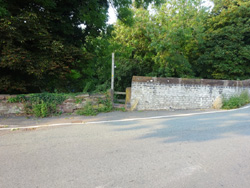
| roving bridge, Hurlestone Junction |
| ( 50.4M above sea level) | |
| streetmap of SJ 6263 5530 or | |
| what3words /// factor.agrees.views | |
| click image to enlarge |
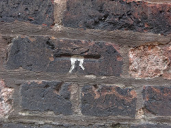
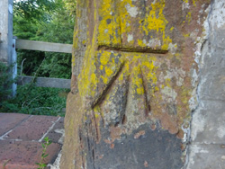  | stile, canal bridge |
| ( 37.7M above sea level) | |
| streetmap of SJ 4366 6569 or | |
| what3words /// monday.icons.hangs | |
| click image to enlarge |
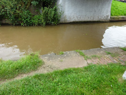
 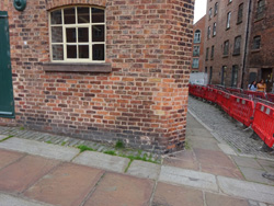 | building along the canal |
| ( 21.1M above sea level) | |
| streetmap of SJ 4128 6663 or | |
| what3words /// windy.priced.asserts | |
| click image to enlarge |
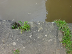
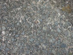 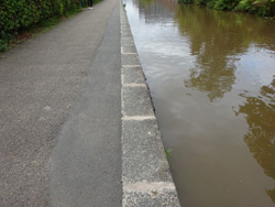 | canal coping stones |
| ( 20.9M above sea level) | |
| streetmap of SJ 4160 6664 or | |
| what3words /// trucks.lanes.patch | |
| click image to enlarge |
| X | 
|
X |
| ffff | info | |
| < | > |